




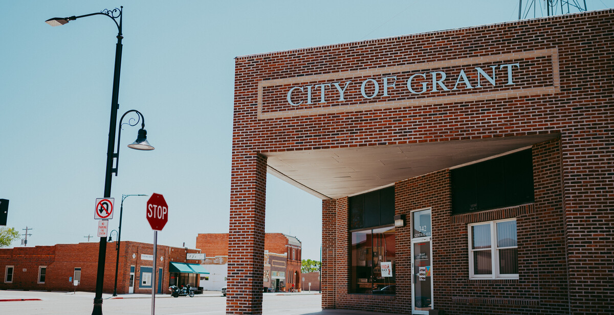

Council Minutes - September 9, 2026
September 25, 2026
SPECIAL MEETING COUNCIL PROCEEDINGS
CITY OF GRANT, NEBRASKA
September 9, 2026
Mayor Lisa Schmitt convened the special meeting of the Council of the City of Grant, Nebraska in open and public session on September 9, 2026, at 7:00 p.m. Notice of this meeting was given in advance by publication in the Grant Tribune Sentinel, the City’s designated method for giving notice, September 3, 2026; The notice of meeting was also posted in advance at Pinnacle Bank, Grant City Hall, and the U.S. Post Office, and to members of the City Council; a copy of their Acknowledgment of Receipt and the Agenda are attached to these minutes. Availability of the Agenda was communicated in the advance notice and in the notice to the Mayor and Council of this meeting. All proceedings hereafter shown were recorded while said meeting was open to the attendance of the public.
Mayor Lisa Schmitt announced the posting of the Open Meetings Act and its location.
Roll call: Present Council members: Kimberly Bishop, Andrea Brueggeman, Tierney Petersen, Samuel Sims, and Mayor Lisa Schmitt.
Others present: City Superintendent Derek Brueggeman, City Clerk/Treasurer Jessie Faber, City Attorney Tawna Holmstedt, CRA Attorney Michael Bacon, et al.
The motion was made by Bishop and seconded by Peterson to approve the September 9, 2026 agenda as presented.
Roll call vote: Yeas – all present. Nays – none. Motion carried.
A motion was made by Bishop to approve the minutes of the September 8, 2026 meeting and waive the reading and seconded by Sims.
Roll call vote: Yeas – all present. Nays – none. Motion carried.
PUBLIC COMMENT – Marlin Wendell.
UNFINISHED BUSINESS:
***Public Hearing at 7:05 P.M. MDT on the Redevelopment Plan for the Phased Site Specific Redevelopment Plan City of Grant CRA Subdivision and Related Cost Benefit Analysis***
LEGAL DESCRIPTION FOR SUBDIVISION
A tract of land located in part of the S 1/2 of Section 12, and part of the N 1/2 of Section 13 all located in T.10 N., R.39 W., of the 6th P.M., Perkins County, Nebraska, being more particularly described as follows: Commencing at the S1/4 corner of Section 12, T.10 N., R.39 W. of the 6th P.M., Perkins County, Nebraska; thence N 89°43'42" E 80.00 feet to the Point of Beginning; thence S 00°59'24" E 80.00 feet; thence S 89°44'11" W 251.29 feet; thence N 84°09'11" W 560.11 feet; thence S 88°57'18" W 751.12 feet; thence N 01°02'42" W 20.00 feet; thence N 88°57'18" E 767.31 feet; thence N 01°02'16" W 794.23 feet to a point on the south line of lands of Bishop's; thence N 88°51'55" E on said south line 711.65 feet; thence N 88°51'55" E 80.00 feet; thence S 00°59'22" E 806.07 feet to the Point of Beginning;
EXCEPT: a tract of land Recorded in Book 59, Page 299 as follows:
A tract of land in the Southeast corner of the Southwest Quarter (SW 1/4) of Section Twelve (12), Township Ten (10) North, Range Thirty-Nine (39), West of the 6th P.M., in Perkins County, Nebraska, being more particularly described as follows: Commencing at the Southeast Corner of the Southwest Quarter ( SW 1/4) of said Section (12), thence North 200 feet on the East line of said Southwest of said Southwest Quarter (SW 1/4) to a point; thence West and on a line Parallel with the South line of said Section Twelve (12), 166 feet to a point; thence South and on a line parallel with the East Line of said Southwest Quarter (SW 1/4) 200 feet to a point on the South line of said Section Twelve (12), and thence east 166 feet to the point of beginning.
The Subdivision contains 15.98 acres, more or less.
LEGAL DESCRIPTION (1) FOR RIGHT-OF-WAY DEDICATION FROM JOHNSON PROPERTY
A tract of land located in the part of the N 1/2 of Section 13, T.10 N., R.39 W., of the 6th P.M., Perkins County, Nebraska, being more particularly described as follows:
Beginning at the N 1/4 corner of Section 13, T.10 N., R.39 W. of the 6th P.M., Perkins County, Nebraska; thence N 89°43'42" E on the north line of the NE 1/4 of said Section, 80.00 feet; thence S 00°59'24" E 80.00 feet; thence S 89°44'11" W 251.29 feet; thence N 84°09'11" W 560.11 feet; thence S 88°57'18" W being 20 feet south of the south Right-of-Way line of East 4th Street, 751.12 feet more or less to the east Right-of-Way line of Logan Avenue; thence N 01°02'42" W on said east line 20.00 feet; thence N 88°57'18" E on the said south line of East 4th Street 767.31 feet; thence N 89°44'11" E on the north line of the NW 1/4 of said Section 13, 545.29 feet; thence N 89°44'11" E on said north line166.00 feet to the Point of Beginning, containing 1.44 acres, more or less.
LEGAL DESCRIPTION (2) FOR RIGHT-OF-WAY DEDICATION FROM SOFTLEY PROPERTY
A tract of land located in the SW 1/4 of the SE 1/4 of Section 12, T.10 N., R.39 W., of the 6th P.M., Perkins County, Nebraska, being more particularly described as follows:
Beginning at the S1/4 corner of Section 12, T.10 N., R.39 W. of the 6th P.M., Perkins County, Nebraska; thence N 00°59'22" W on the west line of said SE 1/4, 804.89 feet; thence N 88°51'55" E 80.00 feet; thence S 00°59'22" E parallel with said west line 806.07 feet more or less to the south line of said SE 1/4; thence S 89°43'42" W on said south line 80.00 feet; to the Point of Beginning, containing 1.48 acres, more or less.
The hearing was opened by Mayor Schmitt at 7:05 p.m. The hearing was opened to public comments. Michael Bacon with Bacon, Vinton & Venteicher, LLC presented the Plan for the Phased Site Specific Redevelopment Plan City of Grant CRA Subdivision and Related Cost Benefit Analysis and answered any questions the Council or public had on the Redevelopment Plan. Mayor Schmitt announced again that the hearing was open to public comments.
Mayor Schmitt closed the hearing at 7:23 p.m.
NEW BUSINESS:
Action and Discussion on Resolution No. 26-09-02 Resolution of the Mayor and Council of the City of Grant, Nebraska, Approving a Redevelopment Plan for the Phased Site Specific Redevelopment Plan City of Grant CRA Subdivision 2026; Approving a Redevelopment Project for the CRA Subdivision; and Approving of Related Actions (CRA Subdivision Project)
LEGAL DESCRIPTION FOR SUBDIVISION
A tract of land located in part of the S 1/2 of Section 12, and part of the N 1/2 of Section 13 all located in T.10 N., R.39 W., of the 6th P.M., Perkins County, Nebraska, being more particularly described as follows: Commencing at the S1/4 corner of Section 12, T.10 N., R.39 W. of the 6th P.M., Perkins County, Nebraska; thence N 89°43'42" E 80.00 feet to the Point of Beginning; thence S 00°59'24" E 80.00 feet; thence S 89°44'11" W 251.29 feet; thence N 84°09'11" W 560.11 feet; thence S 88°57'18" W 751.12 feet; thence N 01°02'42" W 20.00 feet; thence N 88°57'18" E 767.31 feet; thence N 01°02'16" W 794.23 feet to a point on the south line of lands of Bishop's; thence N 88°51'55" E on said south line 711.65 feet; thence N 88°51'55" E 80.00 feet; thence S 00°59'22" E 806.07 feet to the Point of Beginning;
EXCEPT: a tract of land Recorded in Book 59, Page 299 as follows:
A tract of land in the Southeast corner of the Southwest Quarter (SW 1/4) of Section Twelve (12), Township Ten (10) North, Range Thirty-Nine (39), West of the 6th P.M., in Perkins County, Nebraska, being more particularly described as follows: Commencing at the Southeast Corner of the Southwest Quarter ( SW 1/4) of said Section (12), thence North 200 feet on the East line of said Southwest of said Southwest Quarter (SW 1/4) to a point; thence West and on a line Parallel with the South line of said Section Twelve (12), 166 feet to a point; thence South and on a line parallel with the East Line of said Southwest Quarter (SW 1/4) 200 feet to a point on the South line of said Section Twelve (12), and thence east 166 feet to the point of beginning.
The Subdivision contains 15.98 acres, more or less.
LEGAL DESCRIPTION (1) FOR RIGHT-OF-WAY DEDICATION FROM JOHNSON PROPERTY
A tract of land located in the part of the N 1/2 of Section 13, T.10 N., R.39 W., of the 6th P.M., Perkins County, Nebraska, being more particularly described as follows:
Beginning at the N 1/4 corner of Section 13, T.10 N., R.39 W. of the 6th P.M., Perkins County, Nebraska; thence N 89°43'42" E on the north line of the NE 1/4 of said Section, 80.00 feet; thence S 00°59'24" E 80.00 feet; thence S 89°44'11" W 251.29 feet; thence N 84°09'11" W 560.11 feet; thence S 88°57'18" W being 20 feet south of the south Right-of-Way line of East 4th Street, 751.12 feet more or less to the east Right-of-Way line of Logan Avenue; thence N 01°02'42" W on said east line 20.00 feet; thence N 88°57'18" E on the said south line of East 4th Street 767.31 feet; thence N 89°44'11" E on the north line of the NW 1/4 of said Section 13, 545.29 feet; thence N 89°44'11" E on said north line166.00 feet to the Point of Beginning, containing 1.44 acres, more or less.
LEGAL DESCRIPTION (2) FOR RIGHT-OF-WAY DEDICATION FROM SOFTLEY PROPERTY
A tract of land located in the SW 1/4 of the SE 1/4 of Section 12, T.10 N., R.39 W., of the 6th P.M., Perkins County, Nebraska, being more particularly described as follows:
Beginning at the S1/4 corner of Section 12, T.10 N., R.39 W. of the 6th P.M., Perkins County, Nebraska; thence N 00°59'22" W on the west line of said SE 1/4, 804.89 feet; thence N 88°51'55" E 80.00 feet; thence S 00°59'22" E parallel with said west line 806.07 feet more or less to the south line of said SE 1/4; thence S 89°43'42" W on said south line 80.00 feet; to the Point of Beginning, containing 1.48 acres, more or less.
– A motion was made by Bishop to approve Resolution No. 26-09-02 Resolution of the Mayor and Council of the City of Grant, Nebraska, Approving a Redevelopment Plan for the Phased Site Specific Redevelopment Plan City of Grant CRA Subdivision 2026; Approving a Redevelopment Project for the CRA Subdivision; and Approving of Related Actions and seconded by Brueggeman.
RESOLUTION NO. 26-09-02
RESOLUTION OF THE MAYOR AND COUNCIL OF THE CITY OF GRANT NEBRASKA, APPROVING A REDEVELOPMENT PLAN; APPROVING A REDEVELOPMENT PROJECT; AND APPROVING RELATED ACTIONS
Roll call vote: Yeas – all present. Nays – none. Motion carried.
The Resolution will be published in pamphlet form.
Action and Discussion on Recommendation from Planning Commission on Request by Property Owner to rezone from Agricultural to Residential Parcel ID: 680102450, Legal Description:
A tract of land located in part of the S 1/2 of Section 12, and part of the N 1/2 of Section 13 all located in T.10 N., R.39 W., of the 6th P.M., Perkins County, Nebraska, being more particularly described as follows: Commencing at the S1/4 corner of Section 12, T.10 N., R.39 W. of the 6th P.M., Perkins County, Nebraska; thence N 89°43'42" E 80.00 feet to the Point of Beginning; thence S 00°59'24" E 80.00 feet; thence S 89°44'11" W 251.29 feet; thence N 84°09'11" W 560.11 feet; thence S 88°57'18" W 751.12 feet; thence N 01°02'42" W 20.00 feet; thence N 88°57'18" E 767.31 feet; thence N 01°02'16" W 794.23 feet to a point on the south line of lands of Bishop's; thence N 88°51'55" E on said south line 711.65 feet; thence N 88°51'55" E 80.00 feet; thence S 00°59'22" E 806.07 feet to the Point of Beginning;
EXCEPT: a tract of land Recorded in Book 59, Page 299 as follows:
A tract of land in the Southeast corner of the Southwest Quarter (SW 1/4) of Section Twelve (12), Township Ten (10) North, Range Thirty-Nine (39), West of the 6th P.M., in Perkins County, Nebraska, being more particularly described as follows: Commencing at the Southeast Corner of the Southwest Quarter ( SW 1/4) of said Section (12), thence North 200 feet on the East line of said Southwest of said Southwest Quarter (SW 1/4) to a point; thence West and on a line Parallel with the South line of said Section Twelve (12), 166 feet to a point; thence South and on a line parallel with the East Line of said Southwest Quarter (SW 1/4) 200 feet to a point on the South line of said Section Twelve (12), and thence east 166 feet to the point of beginning.
The Subdivision contains 15.98 acres, more or less.
– A motion was made by Sims to approve the recommendation from Planning Commission on Request by Property Owner to rezone from Agricultural to Residential Parcel ID: 680102450 and seconded by Petersen.
Roll call vote: Yeas – all present. Nays – none. Motion carried.
Mayor Lisa Schmitt adjourned this special meeting of the Grant City Council at 7:28 P.M.
______________________________________
Lisa Schmitt, Mayor
_______________________________
Jessie Faber, City Clerk